Main Content

District 3

District 3
Community Image
Sunset
Sunset The Sunset District is the city and county of San Francisco's biggest neighborhood. The Pacific Ocean and Golden Gate Park comprise the neighborhood's northern boundary. The Parkside neighborhood is a portion of the Sunset District towards its southeastern edge. Much of the region was covered in sand dunes prior to the residential and commercial development of the Sunset District, and was initially referred to as the "Outside Lands" by 19th century San Franciscans.

The Sunset District and Richmond District are often collectively known as The Avenues, because the majority of both neighborhoods are spanned by north-south avenues.
The Inner Sunset is bordered by Lincoln Way to the north, 2nd Ave to the east, Quintara Street to the south, and 19th Avenue to the west. It is the 12th wealthiest neighborhood in San Francisco with a median income of 2,050. Food offered by restaurants located in the Inner Sunset includes pizza, Mexican, Thai, Persian, Korean, Malaysian, Hawaiian, Greek, Ethiopian, Pakistani, Cajun/Creole, Dim Sum, Turkish, Peruvian, Chinese, Vietnamese.

The Central Sunset is one of the most residential neighborhoods in San Francisco. It is bordered by Lincoln Way to the north, 19th Avenue to the east, Quintara Street to the south, and Sunset Boulevard to the west. Features of the area include the Sunset Reservoir (which takes up eight square blocks) and Golden Gate Park.

The Outer Sunset is bounded to the north by Lincoln Way, to the east by Sunset Boulevard (between 36th and 37th avenues), to the south by Sloat Boulevard, and to the west by Ocean Beach. Judah, Noriega, and Taraval are the main business streets. Due to its proximity to Ocean Beach, the Outer Sunset is San Francisco's foggiest neighborhood.

The San Francisco Zoo, Golden Gate Park, Ocean Beach, and Lake Merced are among the area's most popular attractions. Sand carried by Pacific Ocean winds can be found on roadways and driveways within the first five to ten blocks east of Ocean Beach. Fort Funston has some of the last remnants of the sand dune ecosystem that once covered the entire Sunset District.
View Details +
Community Image
Merced Heights
Merced Heights

Located in the OMI (Oceanview, Merced Heights, Ingleside) designated area of San Francisco, Merced Heights is a small, twenty-two-block neighborhood sitting on the steep hillside between Ingleside Terrace and Ingleside Heights. Although the hilly terrain may be a bit tough to walk, it does afford some great views. Merced Heights is a quiet residential neighborhood with an excellent cross-section of residents, from retirees to young families – and the occasional college student.

There is no commercial district in Merced Heights, but shops, services, restaurants, and cafes are close at hand, as are transportation and recreational opportunities. Stonestown Galleria is just a mile away and is as well equipped as any suburban mall. For the playground set (young and old), Merced Heights boasts two public parks. In addition to great views, Brooks Park has play equipment, BBQ pits, and a community garden on land donated by one of the original families to live in Merced Heights. Nearby, Merced Heights Playground comes complete with tennis and basketball courts, a grassy field, play structures, and a rec center. Commuters will appreciate the quick and easy access to public transportation (BART, light rail, and bus lines), making the commute into downtown San Francisco or other Bay Area locations simple and straightforward. State Route 1 runs along 19th Avenue for those who must drive, leading to points north, and I-280 is just minutes away.

Merced Heights was one of the last neighborhoods in the OMI to be built out. Although a few homes were constructed before World War II, the real boom came in the late 1940s and ‘50s. Most homes sit on uniformly sized lots (25’ x 100’) and come in various postwar architectural styles. Many homes in Merced Heights are single-family rowhouses similar to those in the nearby Sunset District, with a few older detached homes thrown into the mix just to keep things interesting.

View Details +
Community Image
Lakeshore
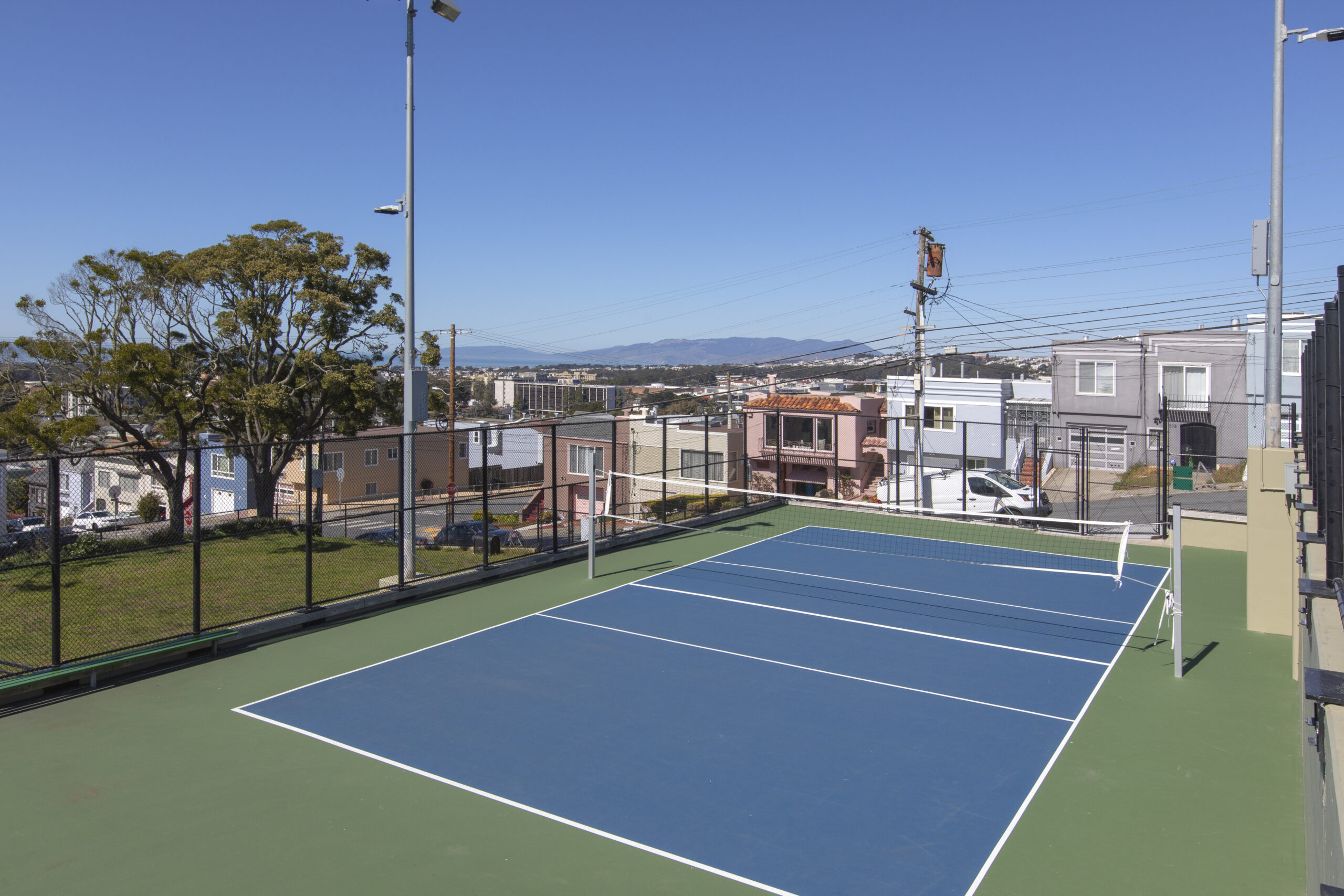
Lakeshore

Set on western San Francisco's edge, Lake Shore is a quiet neighborhood with a few homes and lots of open space, parks, and recreational opportunities. Originally called Lakeshore Park, Lake Shore was developed in the mid-1900s as a "deluxe subdivision" targeting high-end buyers. Surrounding some of San Francisco's finest golf courses, including Harding Park, The Olympic Club, and the San Francisco Golf Club, Lake Shore is a pleasant, well-kept neighborhood in a tranquil corner of San Francisco.

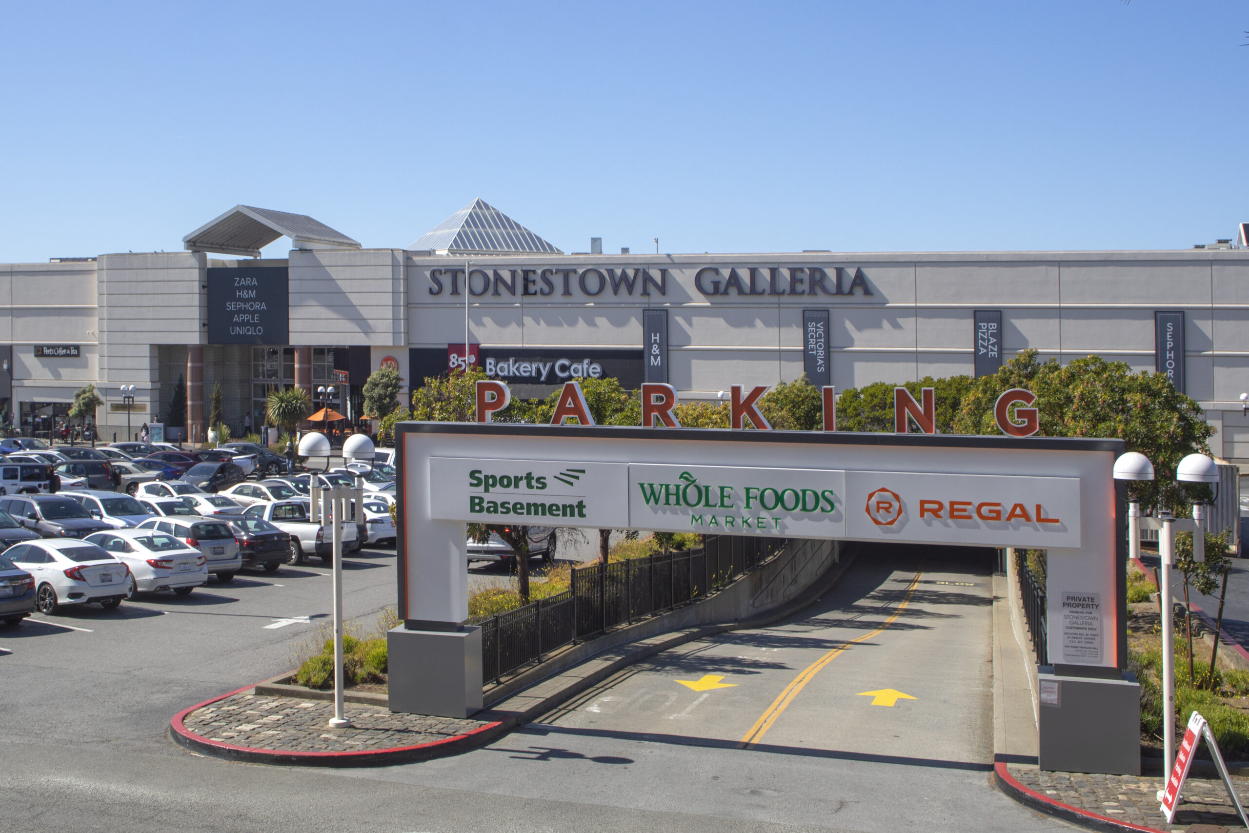
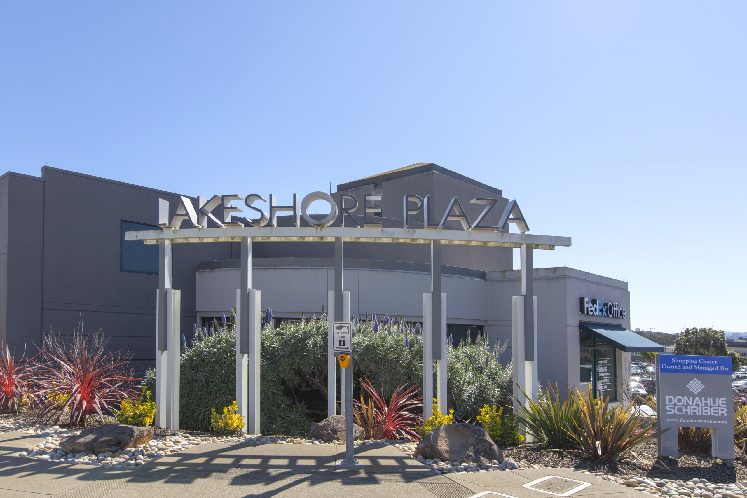
One of Lake Shore's attractions is the amount of land that is relatively undeveloped, a rare occurrence in a city so large and diverse as San Francisco. Lake Merced is in the heart of Lake Shore and Fort Funston, and the Golden Gate National Recreation Area is on the far western edge, offering peace and solitude along with miles of trails for joggers, hikers, and bikers. However, Lake Shore is not an isolated neighborhood; public transportation is easily accessible, and I-280, which intersects San Francisco, is nearby. For everyday needs, residents shop at Lake Shore Plaza, a small neighborhood mall, or visit Stonestown Galleria, which is just minutes away.

Lake Shore is a mid-century neighborhood built during the 1940s and 1950s. Most homes are fully detached, two and three-bedroom, single-family homes. Houses constructed before World War II are Sunstream row houses, built by Standard Building Company, with ground-floor garages and upper-story living quarters similar to the Sunstream homes found in the nearby Sunset District. After WWII, Lake Shore's development continued with the split-level and ranch-style homes that were so popular in the late 1940s and early 50s.

View Details +
Community Image
Pine Lake Park
Pine Lake Park

Pine Lake Park is one of the city’s least dense neighborhoods, with fewer than 275 homes. This neighborhood is a primarily outdoor experience and a charmer at that.

The residential portion of this neighborhood is densely packed into its western corridor and across its southern border along Sloat Boulevard. Development was ignited in this area in the 1920s, but the community itself was not completed until much later.

While there are no large commercial areas in the neighborhood, residents can travel a few blocks over to Stonestown Galleria, where everything imaginable is available from restaurants, large department stores, and smaller storefronts, a movie theater, and direct access to the city’s Muni metro lines.

Pine Lake Park is all about outdoor recreation. The famed Stern Grove is within its borders and is known for its summer entertainment, including a legendary free concert series. Pine Lake itself boasts several trails and green spaces for residents to enjoy.

The homes in Pine Lake Park are mostly detached, single-family abodes, all of which sit on moderate-sized lots. With the utilities underground and the consistent image of neatly manicured lawns, the neighborhood projects an overall sense of cleanliness and order. Housing styles vary from classic to ranch-style, including large portions of row houses. The homes running along Crestlake Drive have the added amenity of backing directly up to either the park or Stern Grove.

View Details +
Skip to content